|
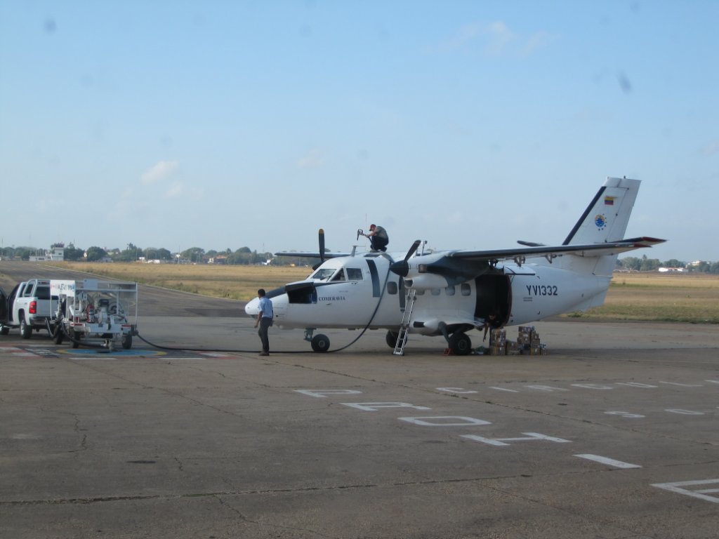 |
| The scheduled plane to Canaima | |
| Latitude: N 8°7'34,58" | Longitude: W 63°32'14,19" | Altitude: 94 metres | Location: Ciudad Bolívar | City: Ciudad Bolívar | State/Province: Estado Bolívar | Country: Venezuela | See map | |
| Total images: 70 | Help | |
|
|
|
| The scheduled plane to Canaima | |
| Latitude: N 8°7'34,58" | Longitude: W 63°32'14,19" | Altitude: 94 metres | Location: Ciudad Bolívar | City: Ciudad Bolívar | State/Province: Estado Bolívar | Country: Venezuela | See map | |
| Total images: 70 | Help | |